Mt. Whitney Webcam 1

Webcam 1 Legend
Mt. Whitney Webcam 2

Webcam 2 Legend
Mt. Whitney Timelapse
Owens Valley North

Owens Valley North Legend
Owens Valley South

Owens Valley South Legend
Previous Thread
Next Thread
Print Thread
#85595 07/13/11 11:05 PM
Joined: Aug 2004
Posts: 10
Member
Member

Joined: Aug 2004
Posts: 10
I am taking a pary of seven people on the Whitney trail as a dayhike in August. I've climbed the Whitney trail before, but everyone else will be first-timers. My question is this: My group will have a wide range of hiking speeds. I am guessing that some of the group will want to "go their own pace" and lag behind the rest (in all probability some of them will not make the summit; the fast ones will intercept them on the way down). Since everyone will be issued tags, will the folks who are separated from the leader (me) have any issues if the ranger stops them and they don't have the permit with them?

Doc S

Joined: Aug 2009
Posts: 11
Member
Member

Joined: Aug 2009
Posts: 11
Every person in your hiking group will have a visible pass on them. You will receive these passes when you check in the day before you hike. I had a similar situation with some in our group on a previous trip. We had no problem because everyone had their individual passes visible at all times. Have Fun!

Joined: Sep 2004
Posts: 720
Member
Member

Joined: Sep 2004
Posts: 720
If you designated alternate leaders on your permit application...

Since you are "in charge" you are accountable for everyone in your group. All present and accounted for.

No one left behind on the mountain...

Safety first, last and always...


Journey well...
Joined: Jul 2011
Posts: 13
Member
Member

Joined: Jul 2011
Posts: 13
we were hiking on July 12th and they did not hand out the tags. We got stopped and were checked for papers by a smugmug real nice ranger on the way down. I do not know what would of happen if we had been spread apart since I was the only one with the paper.

Joined: Sep 2004
Posts: 720
Member
Member

Joined: Sep 2004
Posts: 720
The rangers will ask who the group leader is and they will go from there.

Chances are if the leader is stopped he/she can provide some names of others in his/her group.

If members of the group are stopped, they can provide the name of the leader.


Journey well...
Joined: Apr 2010
Posts: 708
Member
Member

Joined: Apr 2010
Posts: 708
As someone noted above, everyone gets a tag to hang from their pack. My recollection is that every tag has the entry date and the last name of the group leader on it.

Ah, here's a picture from my trip last year. We had three people, and got three tags (this was No. 1 of 3 as indicted at the top). As the group leader, my name was on all three tags.


Last edited by Akichow; 07/16/11 03:25 AM.
Joined: Jul 2011
Posts: 13
Member
Member

Joined: Jul 2011
Posts: 13
when we went on 7.12.11, they said they were out of tags and had been out of them for a while. The ranger took our name and said he would see about sending them to us for the scrapbook.

Joined: Jul 2006
Posts: 212
Member
Member

Joined: Jul 2006
Posts: 212
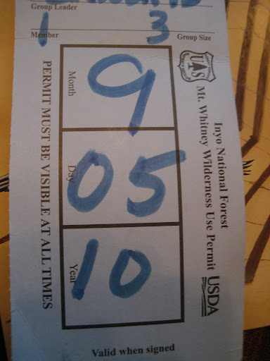
The individual tags are handed out some years, and other years they are not. When I was at Whitney a few weeks ago, over the July 4th weekend, the rangers did not hand out tags for each person in the group, but I as hike leader carried the actual permit. Your group is not required to stay together on the trail, but as long as each person knows the name of the hike leader, and a rough idea of where he/she is on the trail, then your group will be O.K. The hike leader should know exactly how many people are in the group, and the names of each person. Whitney Mike

Joined: Aug 2009
Posts: 11
Member
Member

Joined: Aug 2009
Posts: 11
Thanks for the information. I will make a couple of copies of the permit notice for those who are aching to charge ahead. The slower ones can just stay with me.


Moderated by  Bob R, Doug Sr 

Link Copied to Clipboard
Mt. Whitney Weather Links


White Mountain/
Barcroft Station

Elev 12,410’

Upper Tyndall Creek
Elev 11,441’

Crabtree Meadows
Elev 10,700’

Cottonwood Lakes
Elev 10,196’

Lone Pine
Elev. 3,727’

Hunter Mountain
Elev. 6,880’

Death Valley/
Furnace Creek

Elev. -193’

Powered by UBB.threads™ PHP Forum Software 8.0.0
(Release build 20240826)
Responsive Width:

PHP: 7.4.33 Page Time: 0.040s Queries: 34 (0.024s) Memory: 0.7302 MB (Peak: 0.8059 MB) Data Comp: Off Server Time: 2025-03-15 03:05:05 UTC
Valid HTML 5 and Valid CSS