Mt. Whitney Webcam 1

Webcam 1 Legend
Mt. Whitney Webcam 2

Webcam 2 Legend
Mt. Whitney Timelapse
Owens Valley North

Owens Valley North Legend
Owens Valley South

Owens Valley South Legend
Previous Thread
Next Thread
Print Thread
Joined: Jun 2003
Posts: 93
OBS
Member
Member

Joined: Jun 2003
Posts: 93
I'm looking to take my son on his first backpacking trip in the Sierra. I've spent a fair bit of time at the Cottonwood Lakes as fishing is a focal point of most of my trips up there, and he likes to fish as well.
My question has to do with the route to South Fork Lakes as I've never been to that side. Anyone with an opinion on whether that would be easier than up to Cottonwoods?
The Cottonwood route is easy enough for me...just worried about making it a fun, enjoyable experience for the boy. I'm not sure how he'll handle the altitude. We could day hike over to Cottonwoods to fish and explore if we wanted.
Any input or suggestions appreciated!

Joined: Jan 2003
Posts: 2,446
Ken
Member
Member

Joined: Jan 2003
Posts: 2,446
I'm not sure that I would describe the route as easier, as the both start, and end, at about the same respective altitudes.

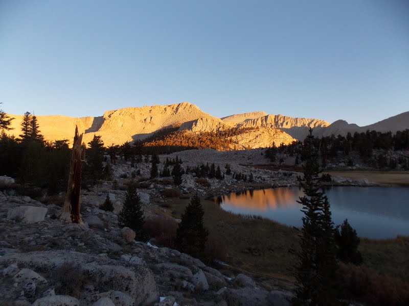
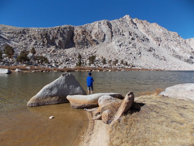
I *will* say, though, that I think the South Fork trail is much less used, feels more wilderness-y and remote. You will likely have the lakes to yourself, as well as the fish! The only hard part of the trail is the last 1/4 or so mile just before you get to the first lake, it is a steep, switchbacky section. Not really hard, just slower. However, up to that, it is pretty flat, and quite a bit runs next to the stream, with camping opportunities, if you are so inclined.

Joined: Apr 2005
Posts: 113
Member
Member

Joined: Apr 2005
Posts: 113
The trail up to South fork is gradual and enjoyable with good vews and good country. Towards the end you do have to work up an area with out a trail to hit the top of the draw. Look at you map and follow the easiest route. You then will hit the trail across and head quickly to the lake. The stream on the left as you head up is the drainage but it gets difficult with regards to the terrain is you follow too close to it.

It is a lightly used trail and well worth the hike to the lakes.

Enjoy!

Joined: Jun 2003
Posts: 93
OBS
Member
Member

Joined: Jun 2003
Posts: 93
Thanks to both of you for the info.
It appears to be a bit shorter than the CL trail by looking at the maps...that's what I meant by easier.
How are the campsites around the lake? Judging by the map, it looks like the SW shore might have some good spots?

Joined: Dec 2002
Posts: 1,871
Member
Member

Joined: Dec 2002
Posts: 1,871
The South Fork Trail is a better way to go. It is a constant up until the climb into SFL, there are fewer people and a lot less horse manure. I only use the main trail when I'm head towards Army Pass.

There are campsites around the lake but my favorite is above Lake #1. When you enter the Lake basin do not cross the outlet stream. It just above you on the right.

Joined: Jun 2003
Posts: 93
OBS
Member
Member

Joined: Jun 2003
Posts: 93
Thanks for the reply.
Hate to beat this subject up, but are you talking about the trail just past the first stream crossing or the split past the trout camp?
Also, I'm assuming that the campsites you like are above CL #1?

Joined: Jan 2003
Posts: 2,446
Ken
Member
Member

Joined: Jan 2003
Posts: 2,446
I'm sure we are talking about the split off at the first stream crossing.

My favorite camping area is on the east shore of the highest lake, in the woods.

Joined: Jul 2009
Posts: 196
Member
Member

Joined: Jul 2009
Posts: 196
Originally Posted By OBS
Thanks for the reply.
Hate to beat this subject up, but are you talking about the trail just past the first stream crossing?


As soon as you cross over the log, start looking to your left.


Why Yes, I am crazy. I'm just not stupid.
Joined: Jun 2003
Posts: 93
OBS
Member
Member

Joined: Jun 2003
Posts: 93
Thanks to all you guys for your suggestions. Had a great trip with my 12 year old son the 18th thru 21st. It was the perfect distance and I enjoyed this trail more than the other. Weather could not have been better for this time of year.

Here's a couple pix from the weekend.


View from Camp

[img]http://[/img]
Fishing Lake 3


Ready for a burger and beer


Moderated by  Bob R, Doug Sr 

Link Copied to Clipboard
Mt. Whitney Weather Links


White Mountain/
Barcroft Station

Elev 12,410’

Upper Tyndall Creek
Elev 11,441’

Crabtree Meadows
Elev 10,700’

Cottonwood Lakes
Elev 10,196’

Lone Pine
Elev. 3,727’

Hunter Mountain
Elev. 6,880’

Death Valley/
Furnace Creek

Elev. -193’

Powered by UBB.threads™ PHP Forum Software 8.0.0
(Release build 20240826)
Responsive Width:

PHP: 7.4.33 Page Time: 0.036s Queries: 32 (0.022s) Memory: 0.7295 MB (Peak: 0.8049 MB) Data Comp: Off Server Time: 2025-04-12 14:37:26 UTC
Valid HTML 5 and Valid CSS