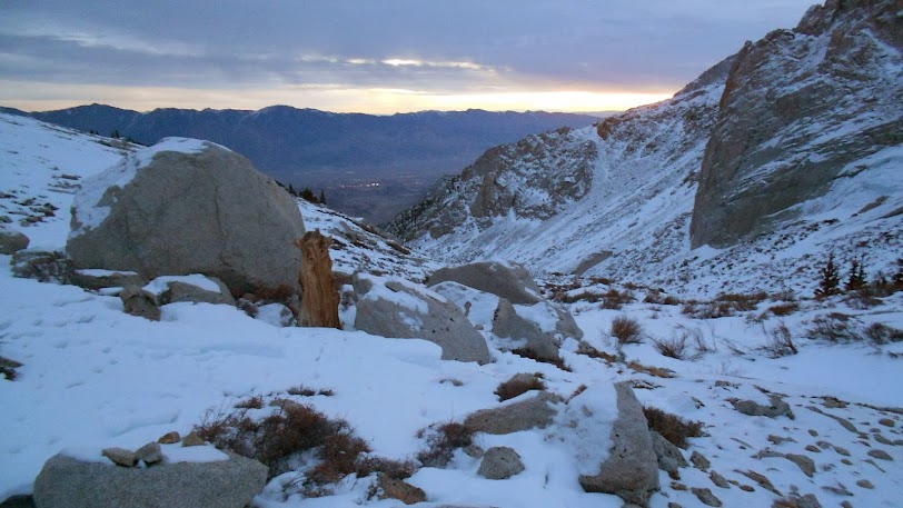
I drove in to Lone Pine on Jan 24th, and started the approach around 12:00pm. I was surprised that there were no other cars. I found it a bit freaky that I would be the only one on the mountain that Friday night. Route finding was a bit challenging due to the low traffic that past week. Eventually, I found some faint tracks that lead up the left side of the canyon just as Bob documented on his Jan 13th trip report (thanks Mr. Pickering). Wiggled my way up to Upper Boy Scout, and camped for the night.
From there to the peak, I found that the terrain made the climb more difficult and dangerous due to the minimal snow coverage. I first went for Whitney with friends on January of 2013. On a side note, I decided not to summit on that trip due to dehydration, and I didn't want to put my friends in danger because of me. Back in Jan of 2013, there was at least three times more snow with a clear and relatively safe route all the way to the notch. I did a solo trip to Whitney on early April of last year, and even then there was at least twice the snow at the gully; however, this year there was enough snow to hide the loose boulders and scree, but not enough to cushion one from them. Therefore, I moved very slowly to make sure my steps were secure. Ankle injury and sliding/falling rocks were serious objective hazards not only on the gully, but also on the route from the Upper Boy Scout Lake. There were some sketchy moments of post-holing to my waist when the snow gave out between two large boulders. Due to these conditions, the travel time on summit day was a lot longer compared to last April.
Ideally, of course, one should start for the peak at about 1:00 or 2:00am especially on a snow climb, but I tend to have a bad habit of starting way to late when I’m on a solo trip. Back in April, I departed Upper Boy Scout Lake at about 7:00am, reached the peak at 12:15pm, spent about 30min there and returned to my tent little after 4:00pm. This past Saturday (Jan 25th), I started at about the same time, but reached the peak at 2:00pm. After spending about 15min at the summit, I returned to camp at 7:30pm. Finding my way back in the dark was not impossible, but certainly not ideal given that there was a short class 3 section-exposed due to the dry conditions-on the stretch from the gully to Upper Boy Scout Lake. I decided not to down climb that, and instead descended a short water ice section (6-10ft). I'm glad I took some ice-climbing lessons a month before, which is another story on its own. =)
Overall, I would prefer significantly more snow or less snow in consideration of the objective hazards. It was certainly exciting, but would not want to repeat that trip with such conditions.


[img]
https://lh3.googleusercontent.com/-FKu1G...no/DSCN3308.JPG[/img]
[img]
https://lh4.googleusercontent.com/-pJkHR...no/DSCN3310.JPG[/img]
[img]
https://lh4.googleusercontent.com/-ATwEP...no/DSCN3312.JPG[/img]
[img]
https://lh4.googleusercontent.com/-0-p8z...no/DSCN3313.JPG[/img]
[img]
https://lh3.googleusercontent.com/-hjUcs...no/DSCN3321.JPG[/img]
[img]
https://lh6.googleusercontent.com/-Un2dc...no/DSCN3326.JPG[/img]
[img]
https://lh3.googleusercontent.com/-2wVI1...no/DSCN3346.JPG[/img]


