Mt. Whitney Webcam 1

Webcam 1 Legend
Mt. Whitney Webcam 2

Webcam 2 Legend
Mt. Whitney Timelapse
Owens Valley North

Owens Valley North Legend
Owens Valley South

Owens Valley South Legend
Previous Thread
Next Thread
Print Thread
Joined: Aug 2011
Posts: 245
Member
Member

Joined: Aug 2011
Posts: 245
The last day of our 6 day HST Hike last month. My buddy finally gets his Whitney summit on his third attempt!

Leg 6 (as tracked), Guitar Lake to Mt. Whitney to Whitney Portal:
15.5 miles | | +3305, -6445 || 12 hours

Details and full photo gallery (48 photos) are posted here:
High Sierra Trail, Day 6 – Guitar Lake to Mt. Whitney to Whitney Portal, June 22 2015

Some highlights:


A few minutes before sunrise:


Sunrise:


Keeler Needle:


One of my favorite views:


Smoke from the fire we saw on Day 3:


Summit photo:


Joined: Jun 2008
Posts: 98
Member
Member

Joined: Jun 2008
Posts: 98
Nice stuff.

HJ

Joined: Aug 2011
Posts: 245
Member
Member

Joined: Aug 2011
Posts: 245
Thanks HJ! Excited for your upcoming trip?

Joined: Jun 2008
Posts: 98
Member
Member

Joined: Jun 2008
Posts: 98
Oh, yes! And a little anxious. lol. Should be fine, but hiking with a couple of the guys out of my group that I haven't hiked with before.

HJ


Moderated by  Bob R, Doug Sr 

Link Copied to Clipboard
Mt. Whitney Weather Links


White Mountain/
Barcroft Station

Elev 12,410’

Upper Tyndall Creek
Elev 11,441’

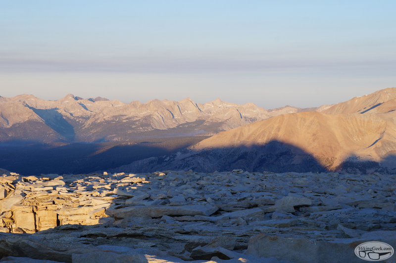
Crabtree Meadows
Elev 10,700’

Cottonwood Lakes
Elev 10,196’

Lone Pine
Elev. 3,727’

Hunter Mountain
Elev. 6,880’

Death Valley/
Furnace Creek

Elev. -193’

Powered by UBB.threads™ PHP Forum Software 8.0.0
(Release build 20240826)
Responsive Width:

PHP: 7.4.33 Page Time: 0.026s Queries: 24 (0.013s) Memory: 0.7071 MB (Peak: 0.7614 MB) Data Comp: Off Server Time: 2025-03-14 21:28:55 UTC
Valid HTML 5 and Valid CSS