Mt. Whitney Webcam 1

Webcam 1 Legend
Mt. Whitney Webcam 2

Webcam 2 Legend
Mt. Whitney Timelapse
Owens Valley North

Owens Valley North Legend
Owens Valley South

Owens Valley South Legend
Previous Thread
Next Thread
Print Thread
Joined: Jan 2007
Posts: 9
Member
Member

Joined: Jan 2007
Posts: 9
Not sure where this belongs. I would like to see people post pictures of their trip to the summit.

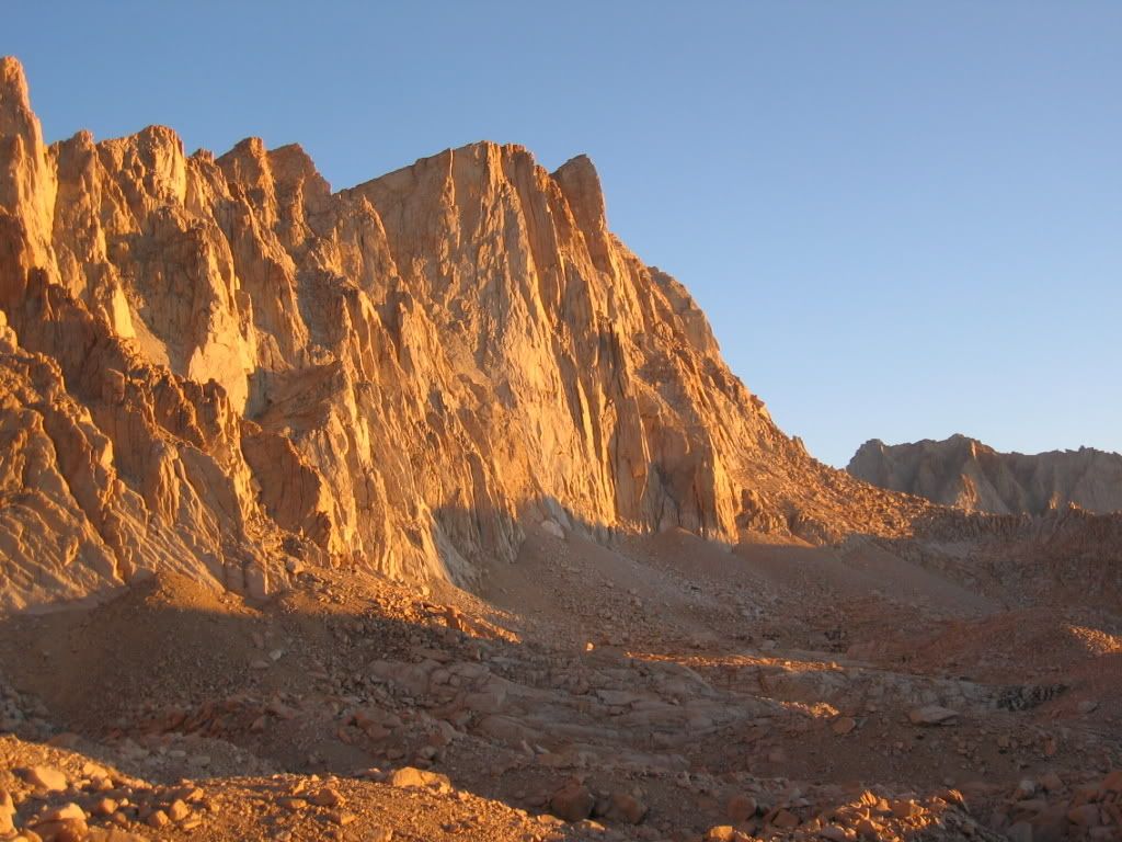
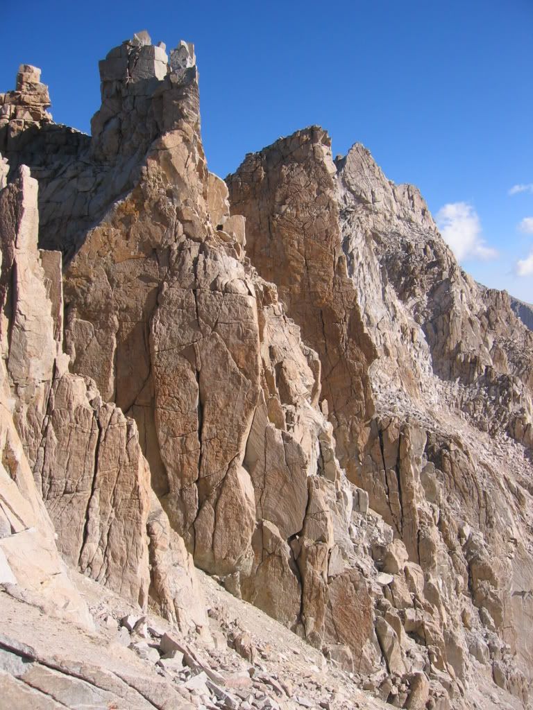
The following pictures are from July 24, 2007. (clickable thumbnails)

This picture taken around the first 20 switchbacks where the water runs under the rocks.


Taken next to the cable rails


To Moderator of this forum. Please advise if this post is not allowed.

Last edited by booga; 09/04/07 09:45 PM. Reason: changed the subject suggested by tomcat_rc

Slackin' the network kine! Slacker.NET
Joined: Dec 2006
Posts: 904
Member
Member

Joined: Dec 2006
Posts: 904
My Whitney pix from June 9th/10th 2007.

m-c's photos

MC smile

Here are a few of my favorites:


"If I may dare to step into the footprints of legends, I must place each step in unison with theirs and yet each step must be my own." m.c reinhardt

Joined: Jun 2007
Posts: 111
Member
Member

Joined: Jun 2007
Posts: 111
http://www.flickr.com/photos/11179063@N05/1085332046/

http://www.flickr.com/photos/11179063@N05/1084470865/

http://www.flickr.com/photos/11179063@N05/1084466885/

http://www.flickr.com/photos/11179063@N05/1064675348/


What is above knows what is below, but what is below does not know what is above. Thats why i climb!
Joined: Jun 2003
Posts: 949
Member
Member

Joined: Jun 2003
Posts: 949
may I?


and another:


edit:
maybe relabel the thread "favorite Whitney pictures" and keep the thread alive with great images - it would go better if people could post the image rather than the link

Last edited by tomcat_rc; 09/04/07 10:42 PM.
Joined: Dec 2002
Posts: 992
Likes: 2
Member
Member

Joined: Dec 2002
Posts: 992
Likes: 2
Here's one. (Start scrollin'....)


Joined: Jun 2003
Posts: 949
Member
Member

Joined: Jun 2003
Posts: 949
this pano stretches the screen - maybe a link or separate thread for large panos - it would be a shame to try and downsize this

stunning shot(s) - I love the views from Thor

Last edited by tomcat_rc; 08/31/07 04:37 PM.
Joined: Aug 2006
Posts: 2,391
Member
Member

Joined: Aug 2006
Posts: 2,391
Amazing Pano! I'm studying it right now for routes against written descriptions!

Maybe there could be a separate board for pics, like what they have on HStopix?

My little contribution:

Last President's Day driving back from DV.

-L cool


Flickr Pics

Think outside the Zone.
Joined: Jan 2007
Posts: 9
Member
Member

Joined: Jan 2007
Posts: 9
Beautiful shots! It makes me want to go again - soon.


B-B-B-Bland to the Bone,

I am looking for a panoramic stitching program. I took several pictures panning the horizon with all the intentions of putting it together as one wide panoramic shot. Unfortunately I do not know how to use the pano option of my gigi cam.

I remember using a program called photo stitch which came with my cam. But I can't seem to find that CD.

Here's another pic to keep the thread going with pictures in each post.


Last edited by booga; 09/04/07 09:48 PM. Reason: add pic to the post.

Slackin' the network kine! Slacker.NET
Joined: Jan 2003
Posts: 548
Member
Member

Joined: Jan 2003
Posts: 548
From our 3-day trip in 2001, the East Face of Whitney from the Switchbacks:


Also, along the lines of panoramas, I shot this 360-degree VR panorama from the summit boulders. Take a look "down" in the pan...

One of these days, I'll have to go back up there and take my newer digital SLR along so I get better image quality in the pan. Someday...

Joined: May 2003
Posts: 107
Member
Member

Joined: May 2003
Posts: 107
Booga,

Here are panoramic pictures I took on our trip to the top in July:


I use a stitching program called Arcsoft Panomaker 4.0 which does a fairly god job of not distorting multiple photos together. I find that using more than 6 pictures tends to cause your finished panoramic image to look "funny." Love the pictures posted above! smile Keep'em coming!

Joined: Apr 2004
Posts: 574
Member
Member

Joined: Apr 2004
Posts: 574
Couple of mine...


smile Hard to choose just one!

Edit: How do I embed the images at a smaller size (say 600 x xxx)?


Chris

Last edited by BeachAV8R; 09/04/07 11:13 PM. Reason: Trying to make them smaller... : (
Anonymous
Unregistered
Anonymous
Unregistered

This photo was taken by Rick Graham


MT Whitney's North Face (as seen from MT Russell)


Ice climbing @ Whitney Falls (the mountain has so much to offer year around) grin


Joined: Aug 2006
Posts: 945
Member
Member

Joined: Aug 2006
Posts: 945

perfect timing arriving at Iceberg Lake from UBSL at dawn to see the morning glow on the east face before going up MR.

sept 2006.
Harvey


Joined: Aug 2006
Posts: 945
Member
Member

Joined: Aug 2006
Posts: 945

here's a "ranch view" of Whitney, fall 2006. Harvey


Joined: May 2007
Posts: 12
Member
Member

Joined: May 2007
Posts: 12
I just purchased Photoshop CS3 which has a super pano program for automatically stitching. You might want to take a look at it; it is much better than CS2 and very fast.

Dick

Joined: Jun 2007
Posts: 32
Member
Member

Joined: Jun 2007
Posts: 32
I hope this is not too far off topic, but I have been looking for a picture that shows the MR route from UBSL to Iceberg in preparation of my first ascent in a week and a half, and it looks like the large pano picture posted above has a great shot of that terrain. Is there any possibility that I could get someone to sketch the route up that section of the MR on the big pano shot?

Thanks.

Anonymous
Unregistered
Anonymous
Unregistered

Elway, rather than change the subject here, I posted a marked-up picture at the end of my Mountaineer's Route pictures here: Whitney Mountaineers Route 7/17/05


Moderated by  Bob R, Doug Sr 

Link Copied to Clipboard
Mt. Whitney Weather Links


White Mountain/
Barcroft Station

Elev 12,410’

Upper Tyndall Creek
Elev 11,441’

Crabtree Meadows
Elev 10,700’

Cottonwood Lakes
Elev 10,196’

Lone Pine
Elev. 3,727’

Hunter Mountain
Elev. 6,880’

Death Valley/
Furnace Creek

Elev. -193’

Powered by UBB.threads™ PHP Forum Software 8.0.0
(Release build 20240826)
Responsive Width:

PHP: 7.4.33 Page Time: 0.030s Queries: 50 (0.016s) Memory: 0.7727 MB (Peak: 0.8884 MB) Data Comp: Off Server Time: 2025-04-19 14:27:58 UTC
Valid HTML 5 and Valid CSS