|
|
Joined: Jul 2010
Posts: 150
Member
|
|
Member
Joined: Jul 2010
Posts: 150 |
Regarding phone service, spent the night up there on Sat. and
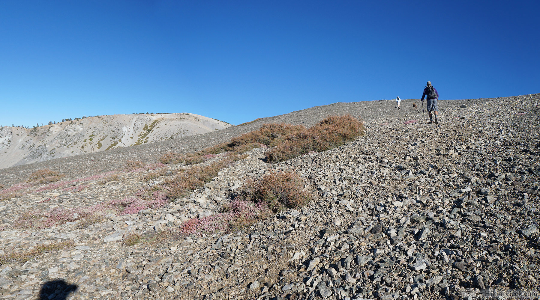
had intermittent service, never more than 2 bars. ATT FYI came up from town thru Bear Flats. above BF the switchbacks were very chewed up.. lots of washouts.. passable but slow. Came down the backbone and the trail was in good shape after the steeper top section... Have done RR several times, route is easy to follow after the initial climb to the ridge line.. about 50yds past the register? Just keep going up and favoring to the right.
Hopefully the temps won't be as hot as last weekend.
Safe hiking
Rick
|
|
|
|
|
Joined: Aug 2011
Posts: 21
Member
|
|
Member
Joined: Aug 2011
Posts: 21 |
FYI, this was just posted at the Baldy Visitor's Center and is effective as of today: 
USDA Forest Service
Angeles National Forest
Forest Order No 01-14-06
Pursuant to 16 USC 551 and 36 CFR 261.50(b), the following act is prohibited in the San Gabriel River Ranger District of the Angeles National Forest. This Order is effective from August 21, 2014, through August 20,2015.
Being on the Mt. Baldy Trail (Forest Trail No. 237W12), from Bear Flat north to the Mt. San Antonio Summit, as shown on the attached map. 36 CFR 261.55 (a).
Pursuant to 36 CFR 261.50(e) the following persons are exempt from this order:
1. Persons with a permit specifically authorizing the otherwise prohibited act or omission.
2. Any Federal, State, or Local Officer or member of any organized rescue or firefighting force in performance of any official duty.
This prohibition is in addition to the general prohibitions contained in 36 CFR Part 261, Subpart A.
A violation of this prohibition is punishable by a fine of not more than $5,000 for an individual or $10,000 for an organization, or imprisonment for not more than six months, or both. 16 USC 3559, 3571, and 3581.
Done at Arcadia, California this 20th day of August, 2014.
Thomas A. Contreras
Forest Supervisor
Angeles National Forest
I'm sure the trail suffered a bit of damage with the recent flooding, but has anyone been up this trail to validate it was hit this hard?
|
|
|
|
|
Joined: Oct 2005
Posts: 353
Member
|
|
Member
Joined: Oct 2005
Posts: 353 |
Wow, a 1-year closure, that’s seems a bit harsh!
Have they blocked the top of the trail, as lots of folks ‘accidently’ descend Bear Canyon from Baldy summit?
So I guess excursions over to West Baldy are illegal?
|
|
|
|
|
Joined: Oct 2007
Posts: 783
Member
|
|
Member
Joined: Oct 2007
Posts: 783 |
 Sad. It's one of my favorite Baldy trails.
|
|
|
|
|
Joined: Oct 2009
Posts: 520
BaldyMaster Member
|
|
BaldyMaster Member
Joined: Oct 2009
Posts: 520 |
Hi Tracie,
According to Pavel's friend who hiked the area recently, the switch back section of trail beyond the Bear Flat was severely damaged by the recent flash flood. A few section have 5 feet deep erosion. The trail was broken up badly.
We celebrated Pavel's 50th birthday at the Notch yesterday. Pavel is known as a "Mayor of Mt. Baldy".
We drove from Manker flat to Thunder mountain with 4WD. The ski slope was damaged very badly. One of our 4WD had to leave the trailer to get up the hill. Tracie, I thought about your "Jeep". Later we hiked up Telegraph peak for our small party before the big surprise party at the Notch in the evening. Everyone had a good time.
Photos is in member album link.
Last edited by Shin; 08/24/14 07:50 PM.
|
|
|
|
|
Joined: Oct 2007
Posts: 783
Member
|
|
Member
Joined: Oct 2007
Posts: 783 |
Hey Shin!!! Thank you for the update on Bear Flat. I'm sorry I missed Pavel's surprise party. You and Pavel are true Baldy embassadors XXOO. 
|
|
|
|
|
Joined: Jun 2003
Posts: 49
Member
|
|
Member
Joined: Jun 2003
Posts: 49 |
This is a total shot in the dark, but... some time ago we were up on Baldy and found a rather nice wind jacket that looked like it was left in one of the stone circles on the summit. I'm sure the owner would love to have it back. If you know anything about this would you please reply with a description of the jacket so I can get it back to you. Or, can someone recommend a Baldy forum that might be a little more specific? Thanks.
|
|
|
|
|
Joined: Dec 2002
Posts: 415
Member
|
|
Member
Joined: Dec 2002
Posts: 415 |
|
|
|
|
|
Joined: Oct 2009
Posts: 520
BaldyMaster Member
|
|
BaldyMaster Member
Joined: Oct 2009
Posts: 520 |
Hi Richard,
The missing hiker was found late this morning according to a SAR ranger. But he didn't want to share much information about the incident.
At least, it is a good news.
Sam Page, sorry to missed you at the summit today.
Last edited by Shin; 08/30/14 11:11 PM.
|
|
|
|
|
Joined: Oct 2009
Posts: 79
Member
|
|
Member
Joined: Oct 2009
Posts: 79 |
Thanks for the update on the hiker, Shin. I'd been searching for news about that all day.
And yes, too bad our paths didn't cross!
|
|
|
|
|
Joined: May 2004
Posts: 538
Member
|
|
Member
Joined: May 2004
Posts: 538 |
So for the last few times on Baldy I have just missed Shin on the summit, so for Saturday morning I told Frank lets leave early to beat the heat and maybe we can catch Shin on the trail. Well 3/4 to the summit I turn around and this guy that looks like Shin is coming up behind us but he has shorts on so I said na Shin doesn't where shorts, yep it was him. It was nice to finish the rest of the way with him and tell us about his climb with RG. So 10 min later on the summit here comes RG nice to see you again Rick. 69 deg on summit beautiful day up the, as Shin said they found Mr.Kim alive at around 10:30a thanks SAR for what you do.. mark Pictures leave at this time to finish hiking to summit with Shin   # 373  RG and Shin  A face to a name Britney goes by Britney on this board and WZ  After 9yrs of part time use they gave out yesterday,damn they were comfortable. came down many a main bowl with these.. 
|
|
|
|
|
Joined: Oct 2009
Posts: 79
Member
|
|
Member
Joined: Oct 2009
Posts: 79 |
Hey Mark, I just missed you guys. I got to the summit at 8AM from Register Ridge and immediately walked down to the SAR guys, who were 200 feet away on the ridge to West Baldy. I then plopped down there for twenty minutes and watched hikers arriving on the summit. I ran into Rick Graham about ten minutes down the Ski Hut Trail. Here's my trip report. with some Shin references ...
|
|
|
|
|
Joined: Mar 2004
Posts: 224
Member
|
|
Member
Joined: Mar 2004
Posts: 224 |
C'mon Mark, a little shoe goo goes a long way!!!
When I get a little money, I buy books; and if any is left I buy food and clothes.
Erasmus
|
|
|
|
|
Joined: Aug 2014
Posts: 89
Member
|
|
Member
Joined: Aug 2014
Posts: 89 |
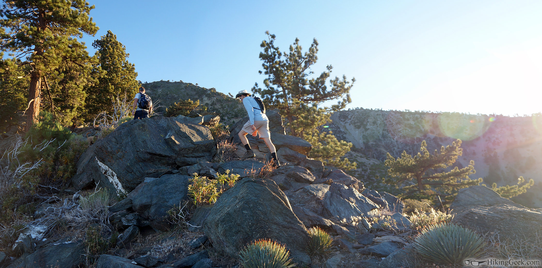
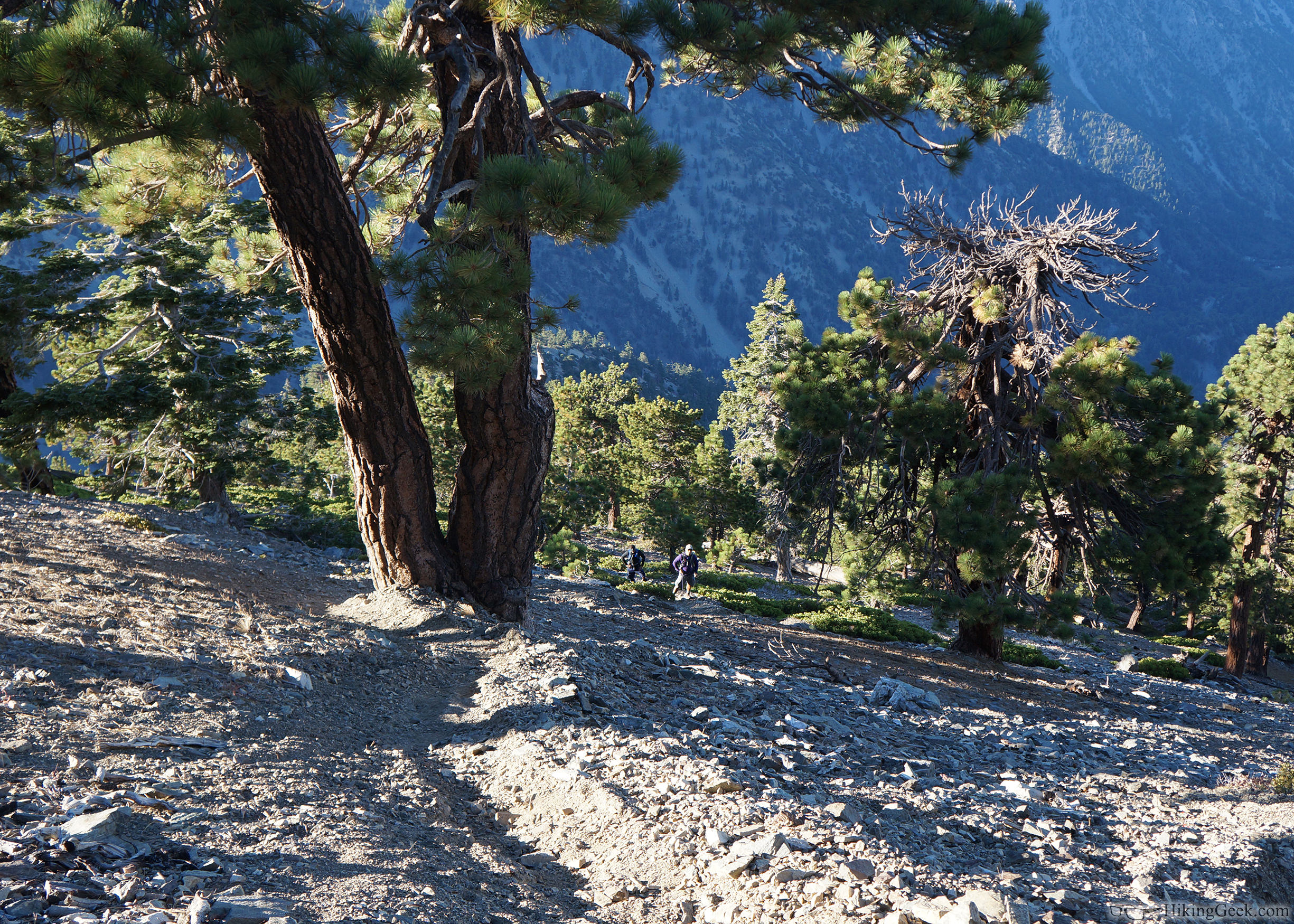
Very sad as this was the best training trail in SoCal! I was up there on August 17 Sunday and the trail was very beat up. There was one spot just above Bear Flats that was washed out to about waist-deep and about 14 feet long. It was passable but very sketchy. The rest of the first 19 switchbacks were ok but very rocky and rough with minor washouts here and there. Above the first trees the trail was visible and pretty easy to follow with washouts here and there but not as bad as the first steep switchbacks (those had the worst damage). I was able to make it up to the narrows with no problem but the steep trail was very rough and full of small scree and sand. From there it was fine, not many washouts at all. I am guessing most of the restoration work will occur on the first 20 switchbacks after Bear Flats.
Very sad to hear about it, but we would rather be safe than sorry of course!
Anyway, hope this helps. Got Whitney on Oct 18th, gonna make another try after the thunderstorms on Aug 11-12 stopped me at Trail Crest.
Good Day!
-HH
|
|
|
|
|
Joined: Jun 2003
Posts: 5,428 Likes: 7
Member
|
|
Member
Joined: Jun 2003
Posts: 5,428 Likes: 7 |
Maybe someone like Doc Murray, who has TONS of Trail Maintenance Supervision experience, can convince the Powers That Be that a volunteer crew(s) could get the repairs done in a much more timely manner... assuming that that's what the issue is.
|
|
|
|
|
Joined: Aug 2011
Posts: 245
Member
|
|
Member
Joined: Aug 2011
Posts: 245 |
|
|
|
|
|
Joined: May 2005
Posts: 208
Member
|
|
Member
Joined: May 2005
Posts: 208 |
It's been a couple of months since there have been any reports re the conditions on Baldy. Hiking via Manker this Sunday -- anyone been up recently? Any snow at all to contend with? Thanks in advance for any beta you might be able to provide. BruinDave
|
|
|
|
|
Joined: Oct 2009
Posts: 520
BaldyMaster Member
|
|
BaldyMaster Member
Joined: Oct 2009
Posts: 520 |
Hi BruinDave,
There is no snow at all for the entire trail.
The creek near Ski hut is running but very low.
One huge dead tree in front of Ski hut was cut down and being made into benches and tables. They are very nice. No more surprise hit of snow and ice on the head when we have HEAVY snow.
Plenty of TP in the outhouse but no for sure about weekend.
A light windbreaker will be nice to have.
Have a nice hike.
|
|
|
|
|
Joined: May 2005
Posts: 208
Member
|
|
Member
Joined: May 2005
Posts: 208 |
Thank you, Shin (aka Mr.Baldy) -- just the guy I was hoping to hear from! Your information is very much appreciated. Perhaps we will see you up there on Sunday?
|
|
|
|
|
Joined: Sep 2006
Posts: 444
Member
|
|
Member
Joined: Sep 2006
Posts: 444 |
Does anyone know the outcome of the SAR operation on Baldy today? When I was at Manker the SARs folks asked if I had seen a man and woman who were overdue returning (i hadn'tl but that's all I know.
|
|
|
|
|